 © Dieter Scherer
Listenübersicht Team
Alumni
Nurana Akhundzada
Dr. Seung Man An
Dr. Max Anjos
Anna Naomi Araiwa
Anselm Arndt
Julia Bartsch
Dr. Robert Bartz
Carl Benz
Dr. Kristina von Bobrutzki
Fernanda Chiappero
Rosemarie Clauss
Prof. Dr. Andreas Christen
Dr. Emily Collier
Dr. Julia Curio
Dr. Jeong-Hee Eum
Dr. Ute Fehrenbach
Dr. Daniel Fenner
Dr. Roman Finkelnburg
Jens Fischer
Polina Franke
Mareike Friedrich
Tom Grassmann
Sebastian Gutierrez Merino
Md Kamrul Hasan
Jana Hinners
Prof. Dr. Manfred Horbert (Fachgebietsleiter im Ruhestand)
Dr. Christian Höpfner
Prof. Dr. Britta Jänicke
Dr. Min-Kyeong Kim
Dr. Cornelia Klein
Janis Klug
Victoria Koban
Arva Kowalke
Adrian Kraft
M.Sc. Alexander Krug
Dipl. Ing. Hartmut Küster
Elio Lagunes
Laura Lipinsky
Henriette Lorenz
Lea Matscheroth
Dr. Fabien Maussion
Dr. Moritz Mielke
Prof. Dr. Thomas Mölg
Lars Müller
Dr. Adrien Napoly
Clara Nitzsche
Albert Polze
Justus Alexander Quanz
Dr. Jochen Richters
Jens Rogée
Sarah Schaare
Dr. Katharina Scherber
Oliver Schinke
Ralf Steikert
Dr. Heiner Stoffregen
Dr. Tanja Straka
Elisa Thyrolf
Vanessa Tolksdorf
Siiri Tunn
Dr. Jana Ulrich
Carsten Vick
Diana Waldhoff
Dr. Xun Wang
Laura Wascher
Patrick Weber
Thomas Weichert
Nana Taky Wilberforce
Max Wittkowski

 © Philipp Arnoldt
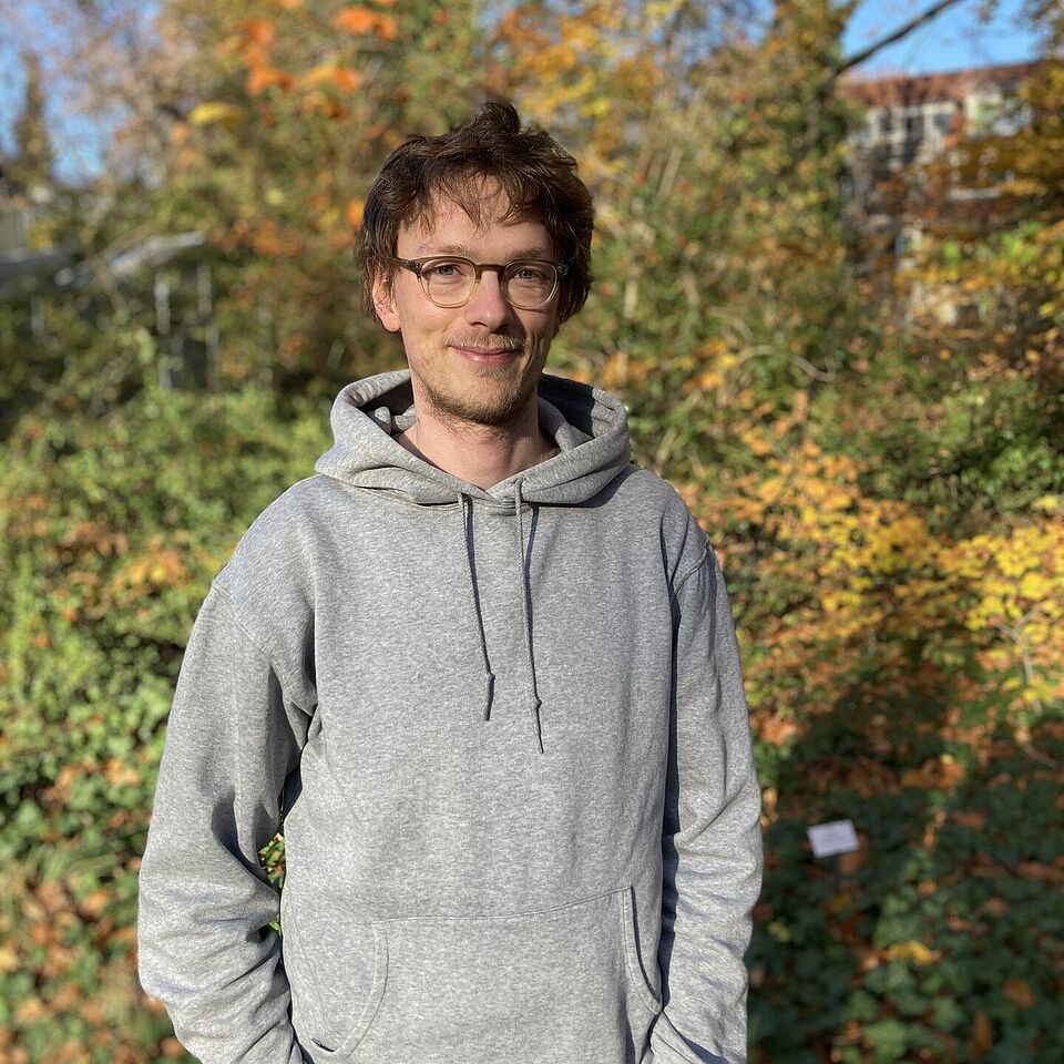 © Achim Holtmann
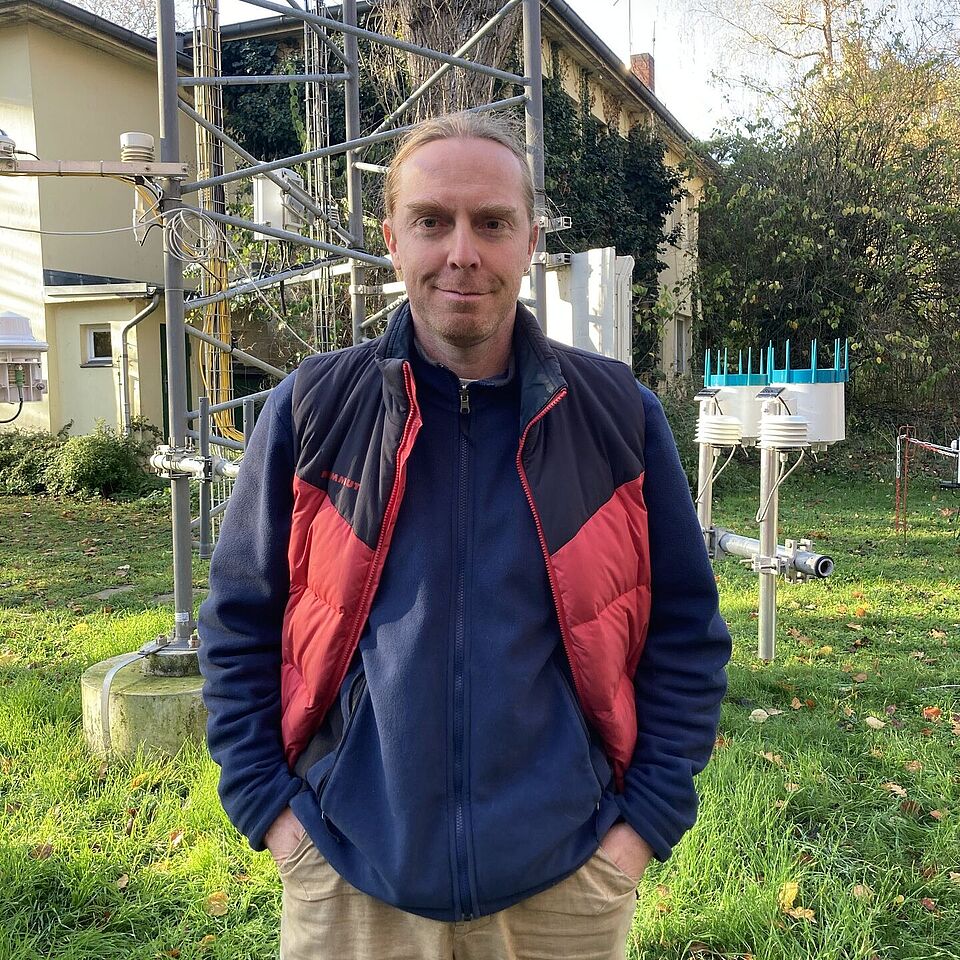 © Fred Meier
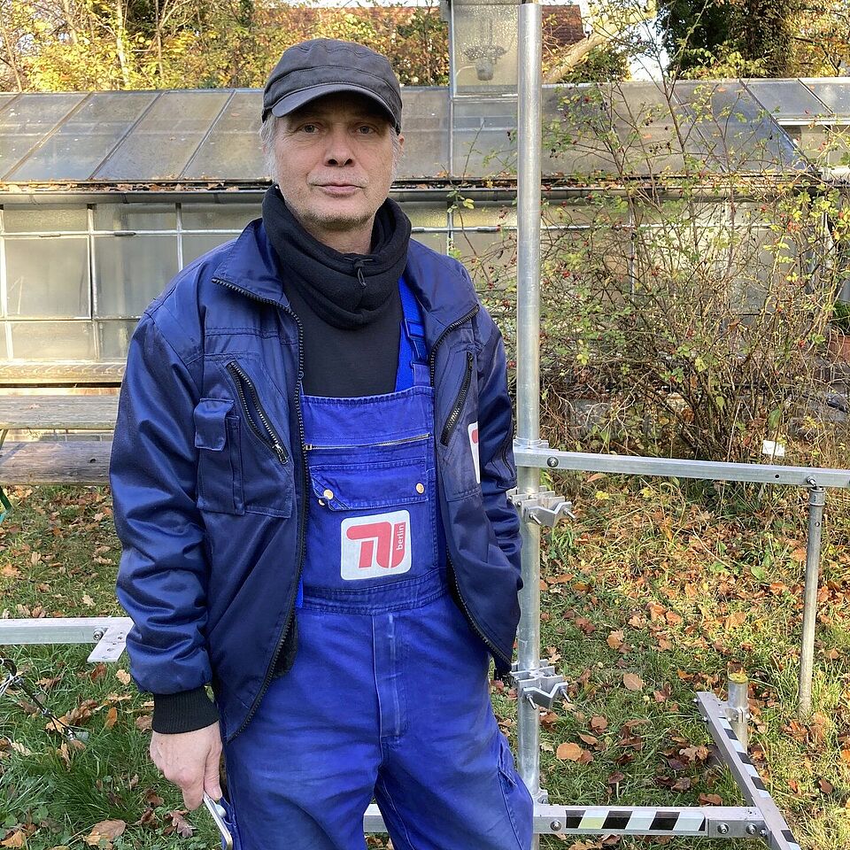 © Ingo Suchland
 © Frederik Bart
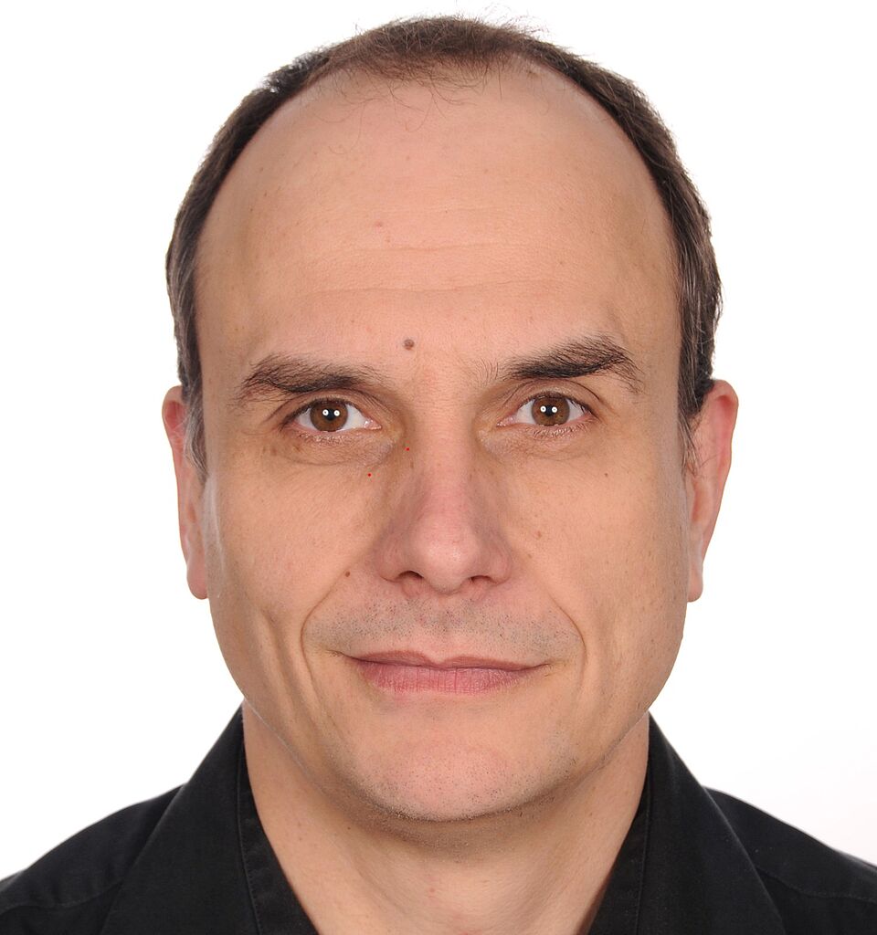 © Marco Otto
 © Benjamin Schmidt
 © Florian Gebhardt
 © Thomas Gentsch
 © David Hellmann
 © Merle Richter
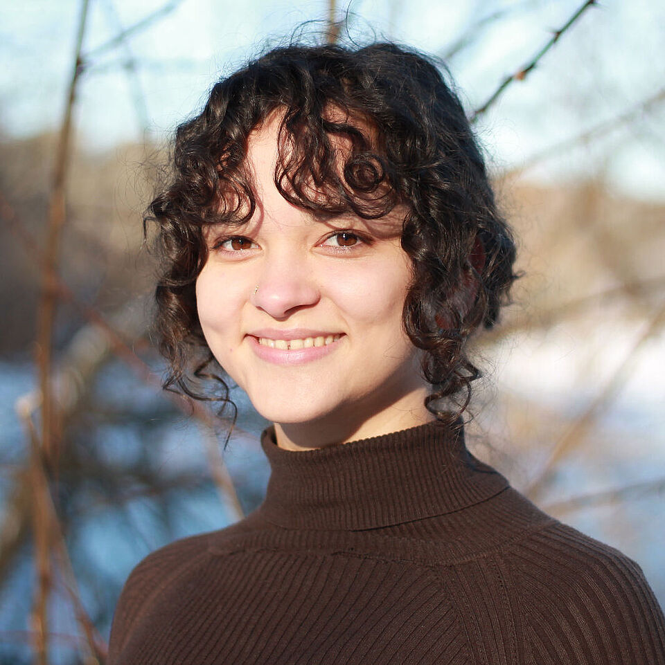 © Nora Brockmann-Könemann